
upload photo | donate | calendar
|
my profile |
register |
faq |
search upload photo | donate | calendar |
 04-03-2006, 09:16 AM
|
#1 |
|
Moderator
Lifetime LugerForum Patron 
Join Date: Oct 2002
Location: Europe
Posts: 5,053
Thanks: 1,036
Thanked 3,991 Times in 1,205 Posts
|
Hi,
Just noticed that the latest version of 'Google Earth' now has detailed aerial photos of the Berlin-Borsigwalde area. This offers a nice view on the complex in it's current state. 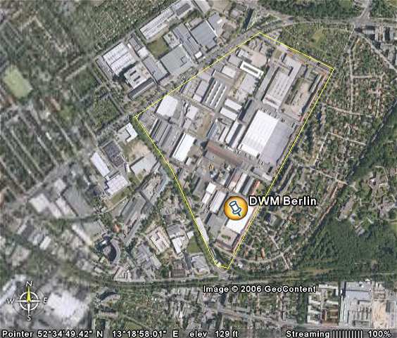 Detail of the facade with water tower: 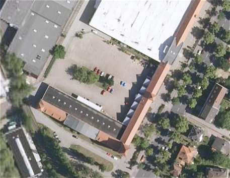 View of the front, taken during my visit in october 2005: 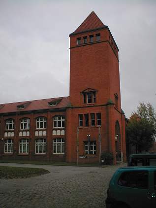 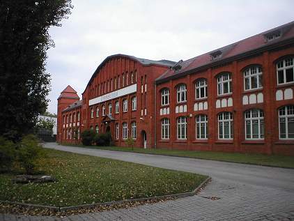 The same building in 1939: 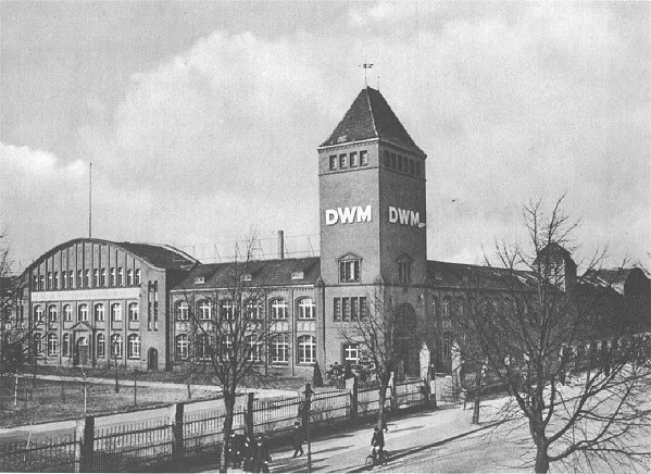 From 1935 on, Mauser rented a large part of the complex, which was also ordered to be destroyed by the French occupational forces in 1948. The facade remainend, but the buildings behind it were destroyed. 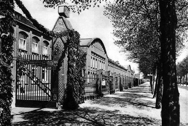 Traces of the destruction of the Mauser part of the complex can still be seen on the Google Earth images. Faint outlines of some of the former buildings are visible. 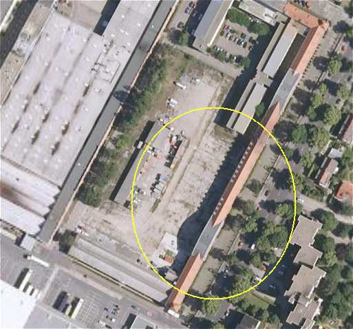
|

|

|
|
|


 Threaded Mode